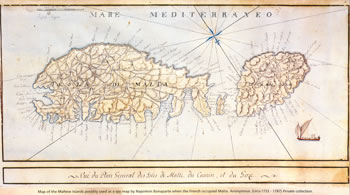
Map of Malta 1733 - 1787 |
 |
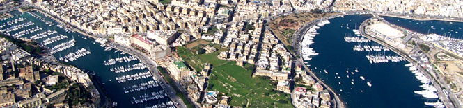
Malta, with a surface area of 246sq km, is made up of a low faulted plateau studded with a series of low hills that contain terraced fields sloping gradually along their sides. The plateau tilts from the cliffs in the West to the bays in the North and East. With an area of 67sq km, Malta’s sister island Gozo is also slightly tilted from its South Western side and slopes into the sea. The coastlines (137km in Malta and 43km in Gozo) are well indented with harbours, bays, and creeks, as well as a multitude of rocky and sandy beaches.
The Maltese Archipelago also includes the General Rock on the west coast of Gozo, the islands of Comino and Cominotto between Gozo and Malta, St Paul’s Islands on the East Coast of Malta and Filfla to Malta’s South East.